- Login
S Sanson (? - ?)
Item 1 of 1
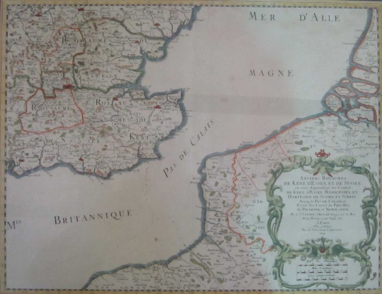
| A map depicting 17th century South East England and parts of France either side of the English Channel | |
| S Sanson (? - ?) | |
| 593 | |
£70 -
£100 | |
| Unknown | |
| Unknowns | |
| 48 cm - 36.5 cm (18.9 in - 14.37 in) | |
| Signedin to unlock | |
| Auction 12/01/2012 | |
| Jan 11, 2012 |
A map depicting 17th century South East England and parts of France either side of the English Channel
593
£70 -
£100
Unknown
Unknowns
48 cm -
36.5 cm (18.9 in -
14.37 in)
Jan 11, 2012